
Know what's near your stay
Pick your hotel or apartment and see every restaurant, café, shop and sight within walking distance — lit up inside a circle on the map.
City Guide 3D puts whole cities in 3D, right in your browser. See what's near your hotel, check real walking times between the sights and plan every day — then watch your route walked, street by street.

Cities
Each one is a whole city in 3D — its landmarks, streets, rivers and parks — with hotels, restaurants, cafés and shops pinned where they are.
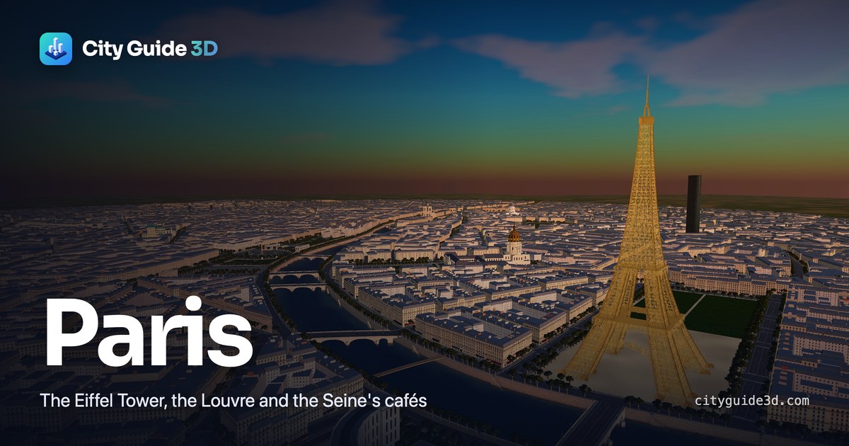
The Eiffel Tower, the Louvre, Notre-Dame and the Seine's cafés — and the metro for the long hops.
Explore Paris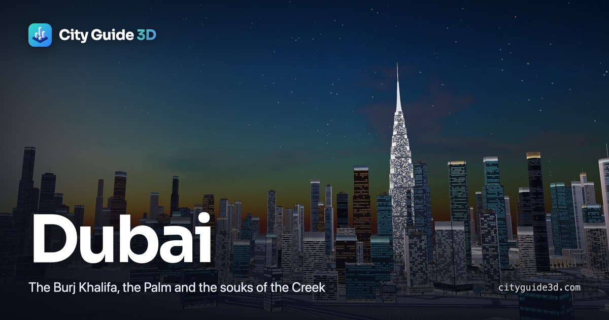
The Burj Khalifa, the Palm, the Marina and the souks of the Creek — with the abras across it.
Explore Dubai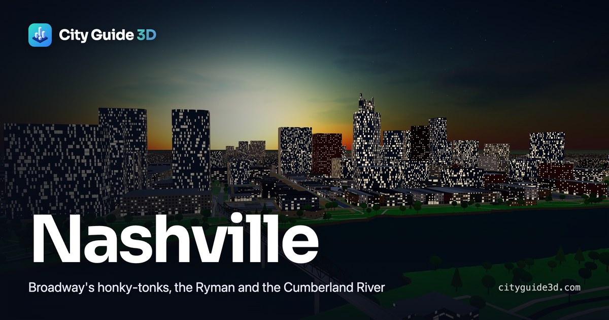
Broadway's honky-tonks, the Ryman, the Cumberland River — every street and sidewalk, built real-size.
Explore NashvilleSigned in
Why City Guide 3D
Maps tell you where things are. City Guide 3D shows you what the walk is like — and plans it with you.
Pick your hotel or apartment and see every restaurant, café, shop and sight within walking distance — lit up inside a circle on the map.
Every walk follows the real streets, footbridges and park paths, and every distance is measured on the real map. A 12-minute walk really is one.
Put the places you want to see on each day, with times, notes and costs, and keep an eye on your budget as it fills up.
Watch any walk — or a whole day's — played through the city: follow from above, or step down to street level and see the way.
Star places, keep your hotels with their dates and prices, and save the walks you plan — on every device you sign in on.
Miles or kilometres, your currency, a 12- or 24-hour clock, and your own walking pace — remembered for you.
How it works
It builds right in your browser: the landmarks, the streets, the river, the parks.
Search places, look round your hotel, and compare the distances between the big sights.
Lay out each day, check what it costs, and watch the day's route walked before you go.

A free account keeps your saved places, hotels, walks and trips — and your settings — wherever you sign in. Sign in with Google or an email.
FAQ
Yes. Exploring every city is free, and so are accounts.
No — everything works without one. An account lets you save places, hotels, walks and trips, and keeps them on every device you sign in on.
Distances are worked out from real latitudes and longitudes, and walks follow the real streets, footbridges, crossings and park paths — so the times are honest. Set your own walking pace in Preferences.
Not yet. The places are a guide to what's where, not live listings, so check opening hours and prices before you go.
Yes, in your phone's browser. The 3D is at its best on a laptop or desktop, where there's room for the map and the panel side by side.
Each city is built in 3D from real map data.
Nashville is real-size, made from OpenStreetMap, the free map of the world kept up by volunteers: its streets, sidewalks and crossings, the Cumberland River, its parks and trees, and every building raised from its real outline to its height on the map.
Dubai's roads, coastline, lakes and neighbourhoods come from OpenStreetMap too. Each neighbourhood is filled with its own kind of building — villas, mid-rises or towers — and the towers of the skyline take their real heights from the map.
Paris is drawn from its real street plan: the main avenues, boulevards and streets traced from their real positions, smaller streets filled in between, the Seine and its islands, and blocks of Haussmann apartment buildings around their courtyards.
The landmarks, from the Eiffel Tower and Notre-Dame to the Burj Khalifa and Nashville's Parthenon, are modelled one by one. To fit in your browser, Paris and Dubai are drawn more compact than life — so every distance and walking time is worked out from real latitudes and longitudes, not from the 3D model.